
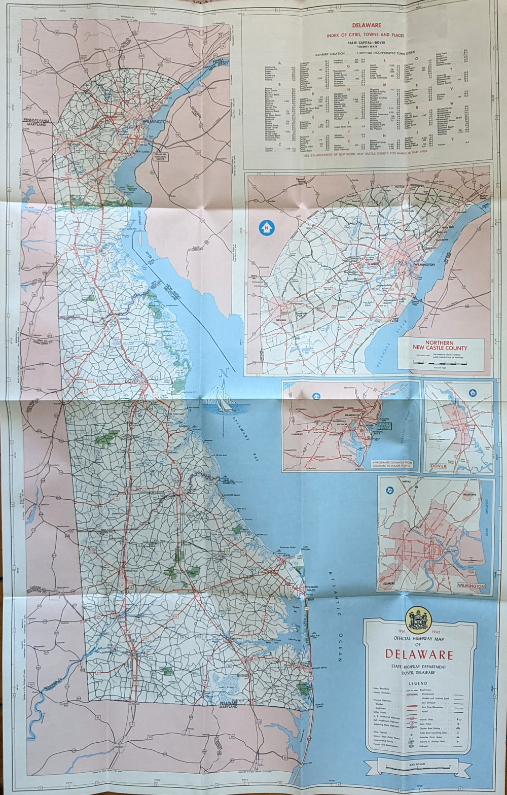
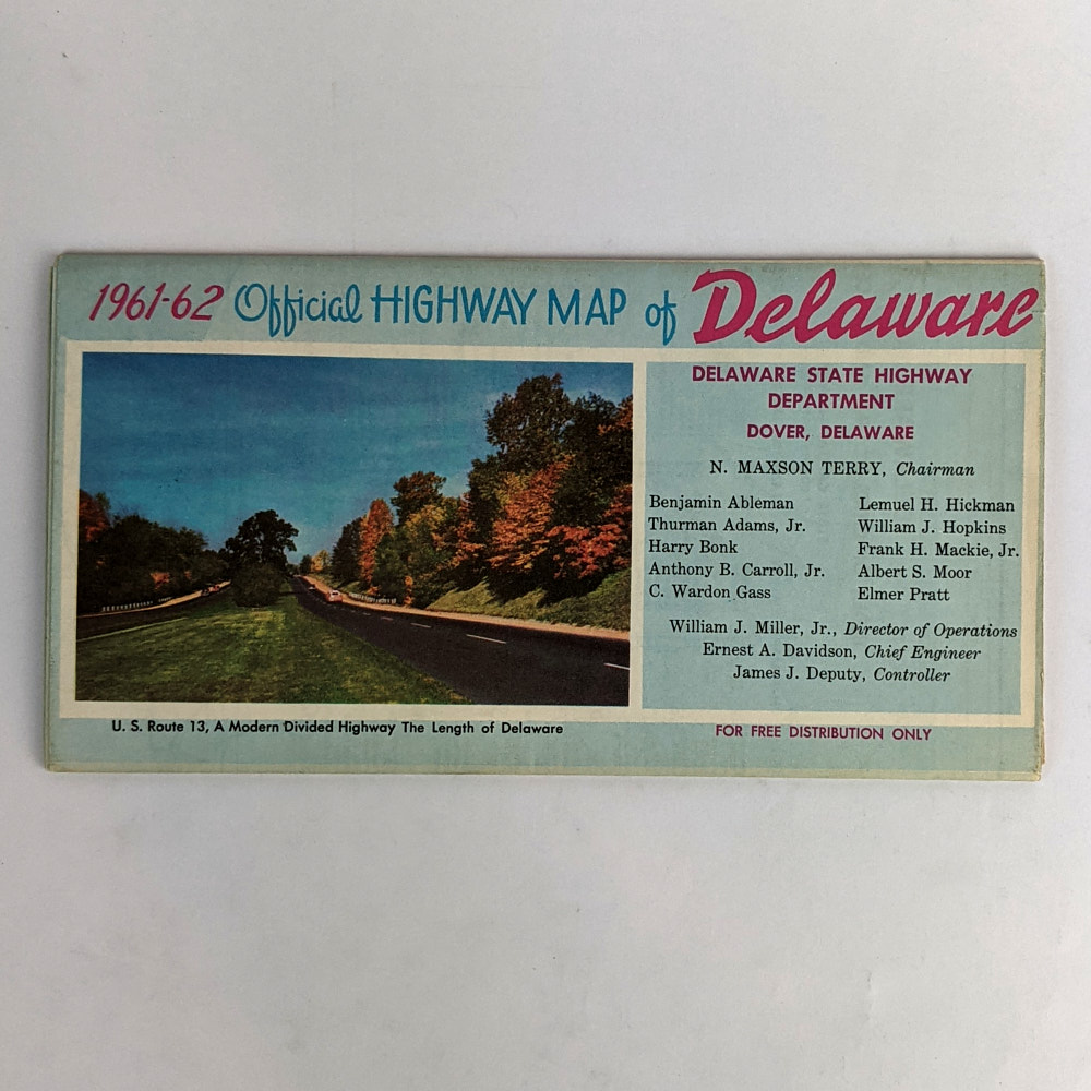
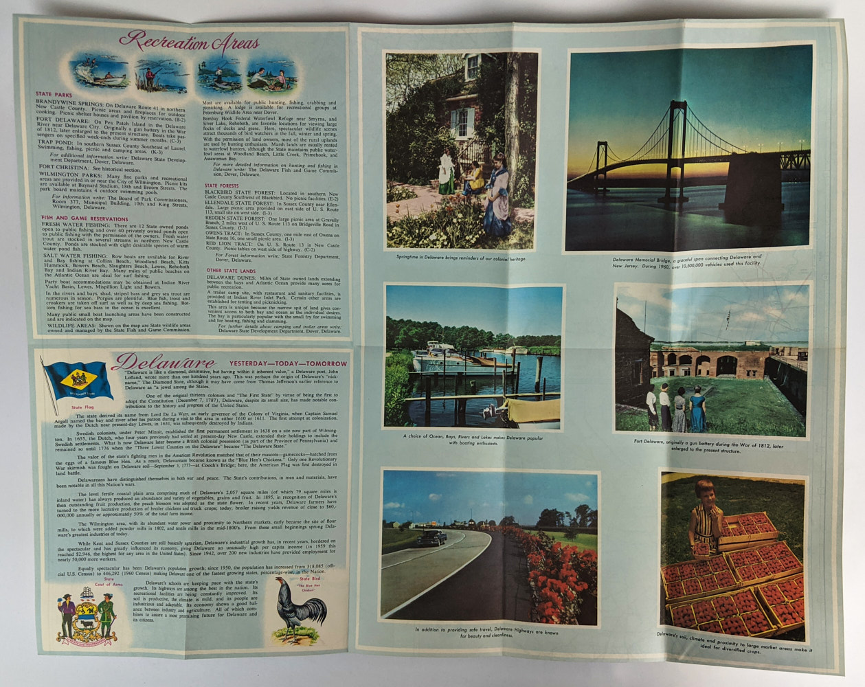
1961-62 Official Highway Map of Delaware
N. Maxson Terry
Dover: Delaware State Highway Department, 1961.
.
86cm x 56cm (sheet size) 11.5cm x 21.5cm (folded size). Colour map, colour illustrations. Single folded sheet.
Very minor soiling. Near Fine Condition.
SOLD
Add to WishlistOn your Wishlist - View List
Add to Wishlist