
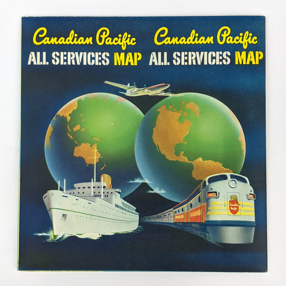
Canadian Pacific All Services Map
Canadian PacificToronto: Rolph Clark Stone, 1957.
.
78cm x 101.5cm. Folding colour map.
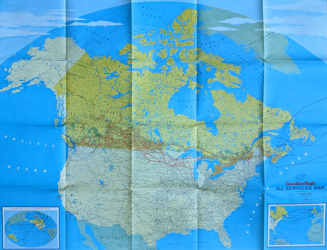
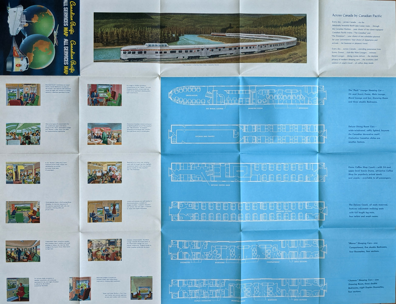
Large folding colour map showing the steamship, rail, and air services of Canadian Pacific. The large map shows North America, with insets showing Trans-Atlantic Steamship routes, and International Airline routes to Hong Kong, Tokyo, Sydney, Auckland, Mexico City, Lima, and Buenos Aires.The verso promotes the amenities of their services.
. Fine Condition.
The Book Merchant Jenkins is away 24 August to 25 September, including exhibiting at the Berlin Rare Book Fair (18-20 September). Online orders can still be placed during this period and will be processed on our return. Email enquiries will be answered, though response times may be a little slower than usual.
AU$100