
Historic Charts and Maps of New Zealand, 1642-1875
Peter B. Maling
Auckland: Reed Books, 1996.
First Edition.
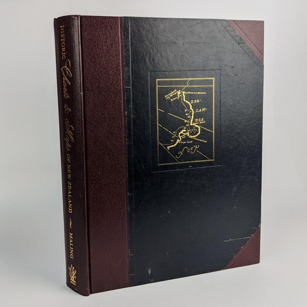
38cm x 28cm. 316 pages, maps, some colour. Half red leather, black leather boards, gilt lettering, no slipcase.
“Letterpress and plates…tell the story of how New Zealand (Aotearoa) was put ‘on the map’. Here will be found some of the results of the work of those navigators who made worthwhile contributions to the charting of the coastlines of these islands…The story of the European discovery of the interior of New Zealand is told very briefly here, not chronologically, but regionally.” (from Author’s Note, page 18.) Edition limited to 400 numbered copies, of which this is number 159.
Ex-State Library of Queensland, stamps and label. Leather scratched and rubbed. Minor soiling to edges. Interior clean and bright. Good Condition (ex-library).
SOLD