
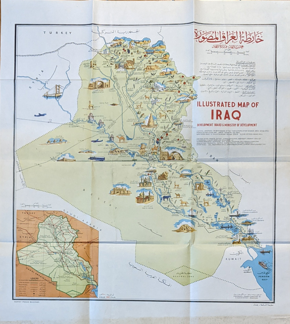
Illustrated Map of Iraq
A. Karim Rifaat
Baghdad: Development Board and Ministry of Development, No date.
.
71.5cm x 64cm. Folded colour map.
Lower edge soiled. Very Good Condition.
SOLD
Add to WishlistOn your Wishlist - View List
Add to Wishlist