
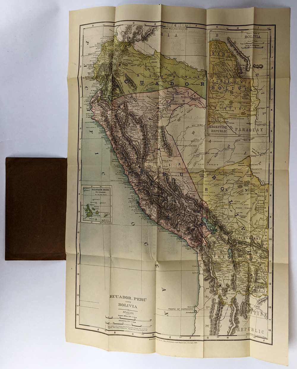
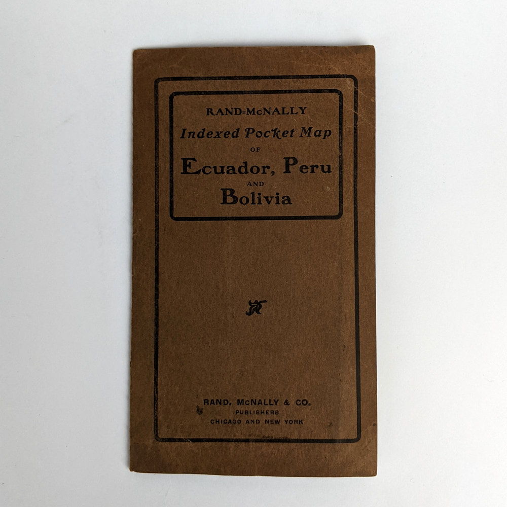
Rand-McNally Indexed Pocket Map of Ecuador, Peru and Bolivia
Rand McNallyChicago: Rand McNally & Co., 1910.
.
Map, 53cm x 36cm, folding to 14cm x 8cm, in card folder.
Scale: 175km: 1 inch. Includes the Galapagos Islands. Full map of Bolivia is inset. Indexes cover Provinces or Departments, Islands, Lakes, Mountains, Rivers, and Towns.
Minor creasing, soiling, and chipping to folder. Very minor creasing to map. Near Fine Condition.
SOLD
Add to WishlistOn your Wishlist - View List
Add to Wishlist