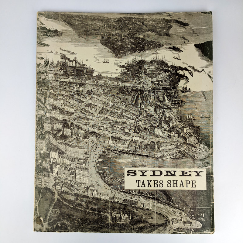
Sydney Takes Shape: A Collection Of Contemporary Maps From Foundation To Federation
Max Kelly; Ruth Crocker
Sydney: The Maclaey Museum, University of Sydney, 1977.
First Edition.
42cm x 34cm. [vii], 49, [1] pages, black and white maps. Illustrated wrappers.
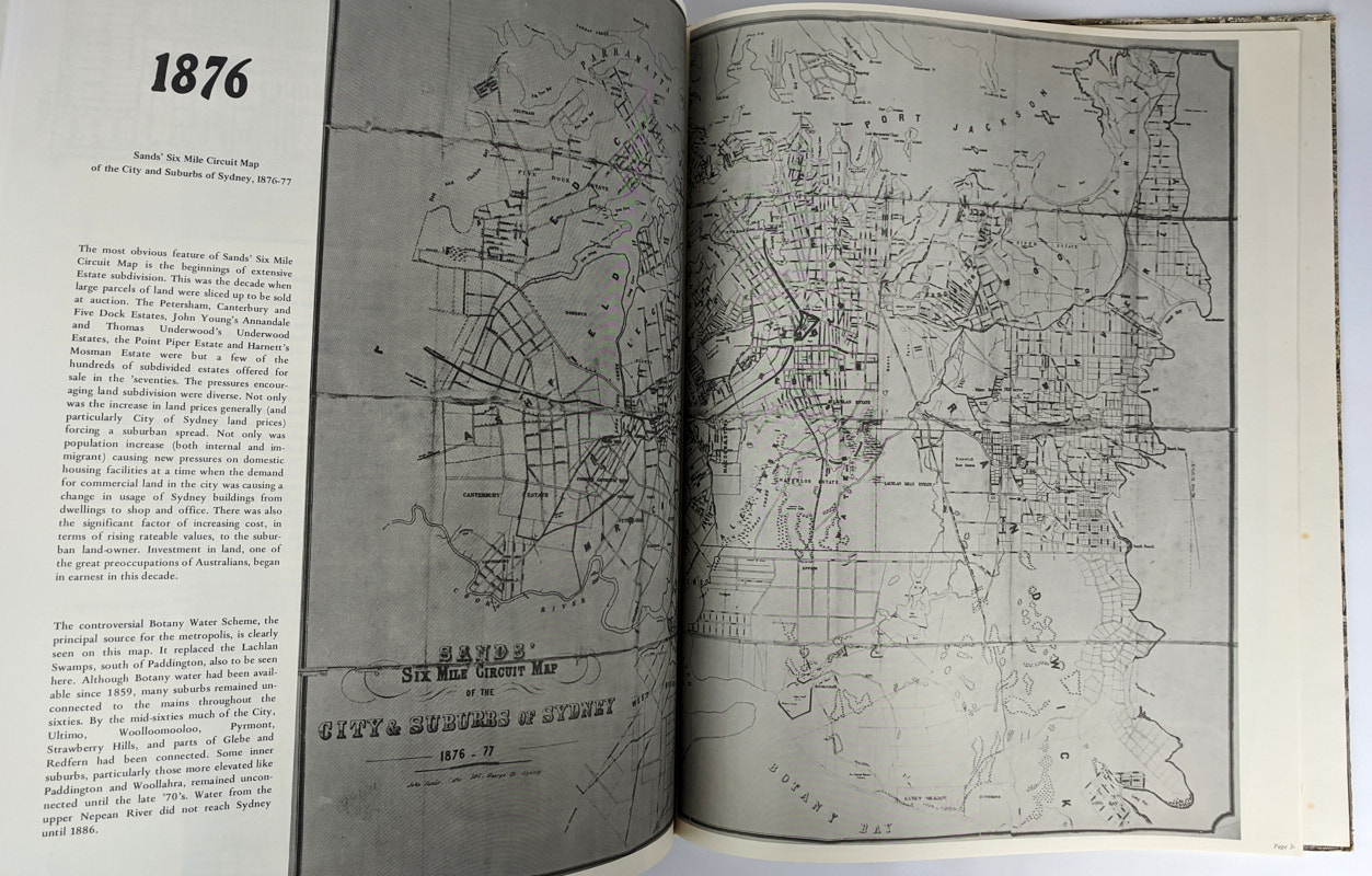
Maps of Sydney from 1788-1893, with additional text and illustrations.
Minor rubbing and wear to wrappers edges. Small sticker ghost and mark to front panel near spine tail. Very Good Condition.
SOLD
Add to WishlistOn your Wishlist - View List
Add to Wishlist