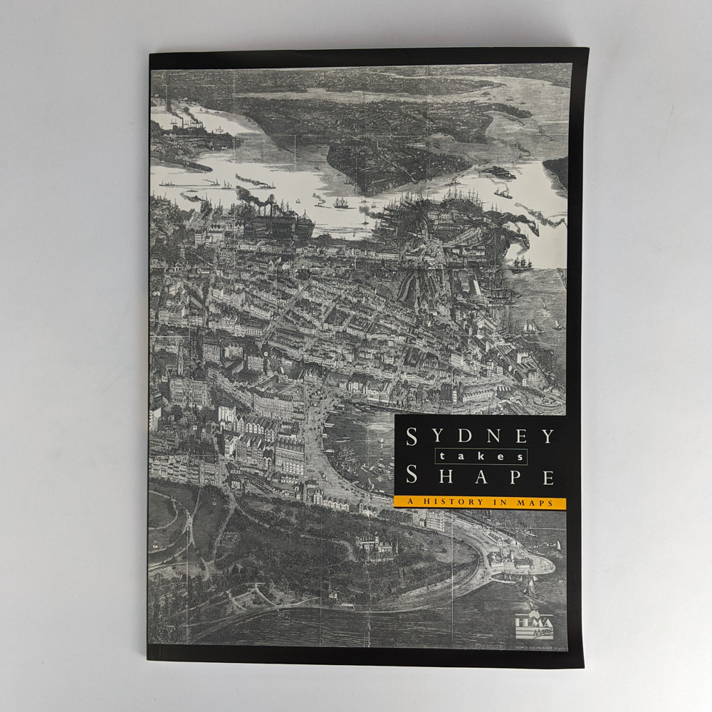
Sydney takes Shape: A History in Maps
Paul Ashton; Duncan Waterson
Brisbane: Hema Maps, 2000.
Revised and Updated Edition.
34cm x 24cm. 78 pages, black and white illustrations, maps. Illustrated wrappers.
“This work is a revised and updated version of Max Kelly’s “Sydney takes shape : a collection of contemporary maps, from foundation to Federation”. First published in 1977…” (from page 2)
Minor foxing to wrappers verso. Near Fine Condition.
SOLD
Add to WishlistOn your Wishlist - View List
Add to Wishlist