
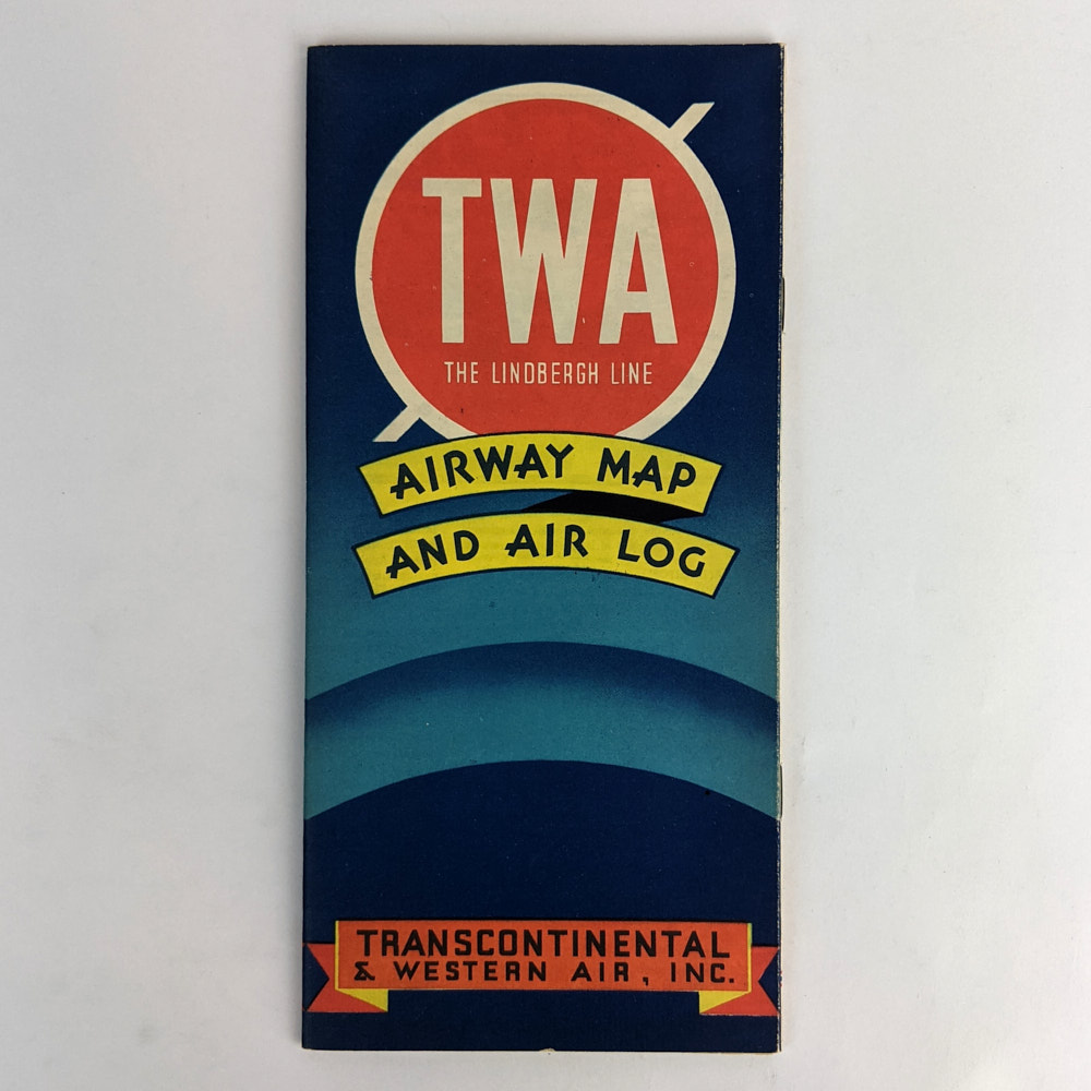
TWA : The Lindbergh Line: Airway Map and Air Log
Transcontinental & Western Air, Inc.
Chicago: Rand McNally & Co., 1936.
.
23cm x 21.5cm. 23 pages, colour illustrations, maps. Illustrated saddle-stapled wrappers.
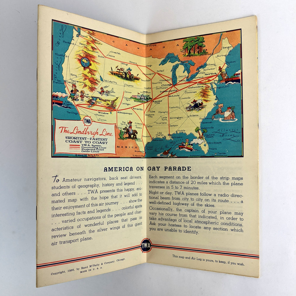
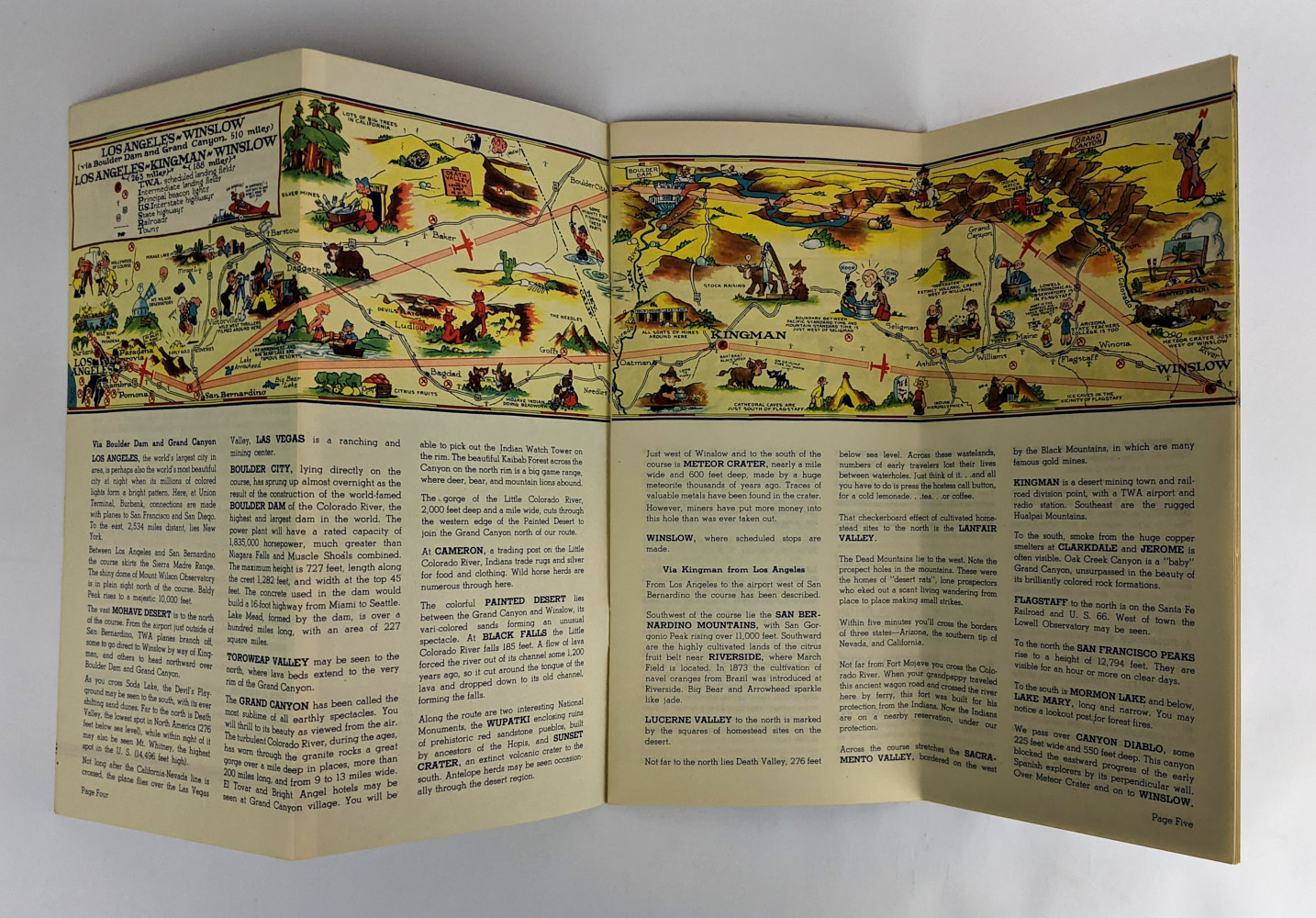
Route maps, humorously illustrated in colour in the style of Ruth Taylor, with notes about each stop along the way.
Very minor general wear. Near Fine Condition.
SOLD
Add to WishlistOn your Wishlist - View List
Add to Wishlist